
Baton Rouge Block Record Sources
No official database labels every person around a home. EBRGIS shows the physical arrangement of lots and civic boundaries. The Assessor supplies the ownership card. Clerk indexes connect parties to recorded acts, while the voter address form can return registrations tied to an exact address. Community registries identify organizations, not private members.
| Source | What It Shows About a Block | Access |
|---|---|---|
| EBRGIS Property Lookup | Lots, situs addresses, ZIP, subdivision, districts | Free online lookup and map |
| Parish Assessor | Tax owner and assessment card for a parcel | Online portal and office |
| Clerk deed index | Recorded buyers, sellers, mortgages, legal descriptions | Subscription or free counter inspection |
| Voter Portal | Registrations associated with one exact address | Public form with statutory limits |
| Neighborhood Registry | Group name, boundary, and public contact | Public registry and GIS service |
This block-lookup table separates land, people, and civic context. A property owner may live elsewhere. A registered voter result can be stale or protected. An association polygon does not reveal its members.
Map Baton Rouge Neighboring Parcels
The parish tools do not document a public radius or buffer search. Use the adjacent-parcel method instead. Locate the target address, note its lot ID, then pan and click each lot sharing a side or rear boundary. Save each parcel as a separate row so corner lots, vacant land, and multi-address sites do not blur together.
- Open EBRGIS Property Lookup and search the exact street address or lot ID.
- Record the situs address, ZIP, subdivision, lot number, zoning, neighborhood, districts, and precinct.
- Open the map and select each touching parcel clockwise. Keep side and rear lots distinct.
- Use the Assessor GeoPortal or tax card to check ownership, then use the legal description for a deed search.
The process is address to lot ID, then map to adjacent lots, then assessor to owner, and finally Clerk index to recorded chain. For every parcel along a named road, use the fuller Baton Rouge street directory workflow instead.
Note: EBRGIS property detail supplies civic fields but is not a substitute for the Assessor's ownership card.
Baton Rouge Block Civic Layers
An EBRGIS detail can carry much more than an address. The inspected Goodwood Boulevard parcel includes a lot ID, ZIP, acreage, zoning, school district, precinct, council district, and neighborhood. Those fields help place nearby lots within the same public-service geography. They do not identify occupants.
- Parcel
- A mapped unit of land used for assessment and legal records.
- Situs address
- The physical location assigned to the parcel, distinct from a tax mailing address.
- Legal description
- The lot, block, subdivision, or survey wording that identifies land in recorded acts.
- Precinct
- The election area assigned to an address.
The city-parish setting requires care. EBRGIS covers Baton Rouge, Baker, Central, Zachary, and unincorporated East Baton Rouge Parish. A Baton Rouge postal label does not by itself prove the address is within city limits. Use the jurisdiction lookup before assigning a municipal office or district.
Baton Rouge Voters by Address
The Louisiana voter address search asks for ZIP, address, apartment or lot, and city. Its page says the result provides information about voters associated with that address. Repeat the form for each exact parcel address. There is no documented arbitrary-radius search, and a street fragment should not replace a complete address.
A match is evidence of a registration record, not proof that someone is physically present today. A nonmatch may reflect spelling, address formatting, inactive status, relocation, protected status, or a city and ZIP mismatch. Louisiana R.S. 18:154 protects sensitive fields, certain law-enforcement addresses, and Address Confidentiality Program data. Ballot choices are never public.
For a larger documented dataset, the Secretary of State offers a voter-list purchase route with parish, district, precinct, ZIP, format, and permitted-use criteria. That is a formal data request, not permission to republish a block's personal details.
Confirming Baton Rouge Block Owners
The East Baton Rouge Parish Clerk's recording system can confirm the transaction behind an assessor name. Search a nearby owner's name as vendee, meaning buyer, and vendor, meaning seller. Mortgagee and mortgagor indexes cover lenders and borrowers. Match the legal description and recording number, since a street name alone can collide with unrelated land.
ClerkConnect Property Records requires a subscription, and no public index cutoff was found. In-person inspection during regular Clerk hours is free. Ordinary copies cost $1 per page, with separate certification and map charges. When the online route stops, bring the owner spelling, lot ID, subdivision, and likely date to the Recording counter or Clerk Archives.
The deed identifies a recorded party and land interest. It does not list every resident of the dwelling. Treat a homestead indicator or matching mailing address as another clue, not a complete occupancy finding.
Baton Rouge Neighborhood Registry
The City-Parish Neighborhood Registry says more than 400 groups are registered and provides a map route. Registered areas can identify the public organization serving a block, its stated boundary, and contact details. The separate GIS neighborhood-association service exposes mapped polygons and attributes.
The official registry capture shows the scope and map entry point.
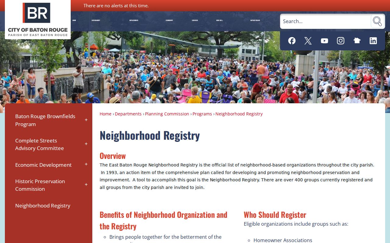
Use the registry to learn the recognized neighborhood name and find a public contact. A boundary is not proof that every household joined the group.
Neighborhood Registry
City-Parish roster and map for registered groups. Public organization details, not household membership.
FGBRCA
The Federation of Greater Baton Rouge Civic Associations describes 116 member associations and a civic umbrella for local groups.
Library Community Directory
East Baton Rouge Parish Library identifies civic, cultural, and service organizations through public group information.
Baton Rouge Civic Group Scale
The local numbers reveal why a block can have more than one useful community label. The City-Parish registry reports more than 400 registered groups. FGBRCA reports 116 member associations and more than 75,000 homeowners represented. These are different systems and should not be merged into a count of homes or residents.
A registered neighborhood may overlap a subdivision name, postal area, council district, or informal historic name. Compare the public boundary polygon with the target lot, then contact the group through its published channel. Ask about public meetings, archives, newsletters, or block-watch contacts without asking for a private member roster.
For past neighbors, reverse directories, yearbooks, newspapers, and obituary indexes can provide dated snapshots. Always attach an edition or publication date. A historical directory entry cannot identify the present household.
Baton Rouge Neighbor Tool Differences
Official records and commercial neighbor tools serve different purposes. Government custodians explain why a record exists, when it was filed, and how to obtain the underlying document. Commercial tools may combine old and current data without showing the source date. Their convenience cannot replace a parcel card, recorded deed, or current voter portal result.
| Approach | Strength | Limit |
|---|---|---|
| Official parcel and deed records | Defined custodian, land key, record date | Shows ownership, not every occupant |
| Official voter address form | Exact address and registration context | Protected and nonregistered people may be absent |
| Community registry | Named group, boundary, public contact | No household roster |
| Commercial category | Fast combined leads | May be stale, mixed, or weakly sourced |
For Baton Rouge neighbors, start with official block facts and label all uncertainty. Do not publish a compiled list of private addresses.
Note: The strongest block finding states what the source proves, when it was checked, and what remains unknown.
Privacy for Baton Rouge Neighbors
Parcel records generally name owners, not renters, relatives, guests, or every person who receives mail. Utility, delivery, driver, and other protected account data are not public block directories. Louisiana's Address Confidentiality Program provides a substitute address for eligible survivors and protected participants.
The official ACP page explains eligibility, application help, and the substitute-address system.

The captured notice shows why an absent or substitute address is a legal protection, not a data gap to work around.
Lawful use. Look up Baton Rouge neighbors for civic contact, personal safety, or local history. Never watch, harass, threaten, or expose anyone.
Unclaimed property is another name-and-place clue, but it does not prove a current home. The Louisiana Treasury search accepts a name or business plus city and ZIP.
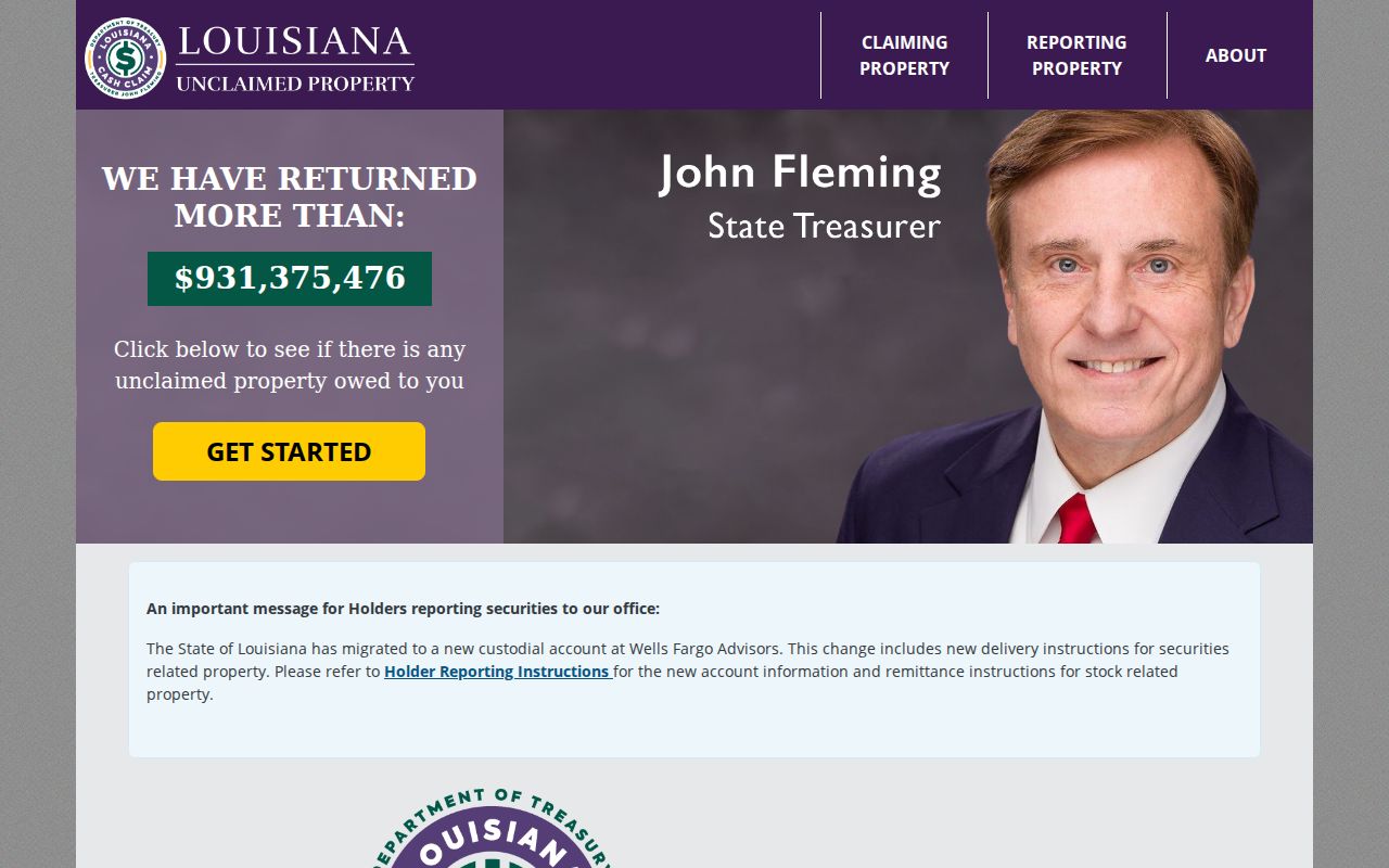
Use that result only for the property claim it reports. Confirm any identity through the Treasury claim process and a separate official record.
Baton Rouge Neighbor Address Checks
Address quality matters before any block comparison. EBRGIS draws from E-911 address data, plats, permits, a Polk city directory source, and field collection. A parcel detail can therefore normalize the current street form even when an older directory or deed uses a former name. Check the City-Parish street and subdivision list when spelling or suffixes differ. For historical neighbor research, the 1942 street-name-change file and the annexation layer provide bridges between an old address and its present map position.
Keep three address fields apart: the situs address marks the land, the tax mailing address tells the Assessor where to send notices, and the legal description identifies the parcel in recorded acts. An apartment or lot field on the voter form adds another distinction. Recording each field prevents one nearby owner, mailing recipient, or registered voter from being assigned to the wrong Baton Rouge home.
Community history needs dates as well. A reverse directory can associate a name with an address in one edition, while a newspaper or obituary may place that person near the block for a separate year. Pair those sources with the current parcel only after checking former street names and subdivision labels. The result should say who was documented, by which source, and when, rather than claiming an unbroken household history.